Emergency Preparedness Map
It’s essential that we enhance our preparedness for natural disasters to help the community protect natural assets and build the resilience of the regions’ ecosystems. This way, they can recover and thrive even after catastrophic events, ensuring a safer and more resilient environment for the future.
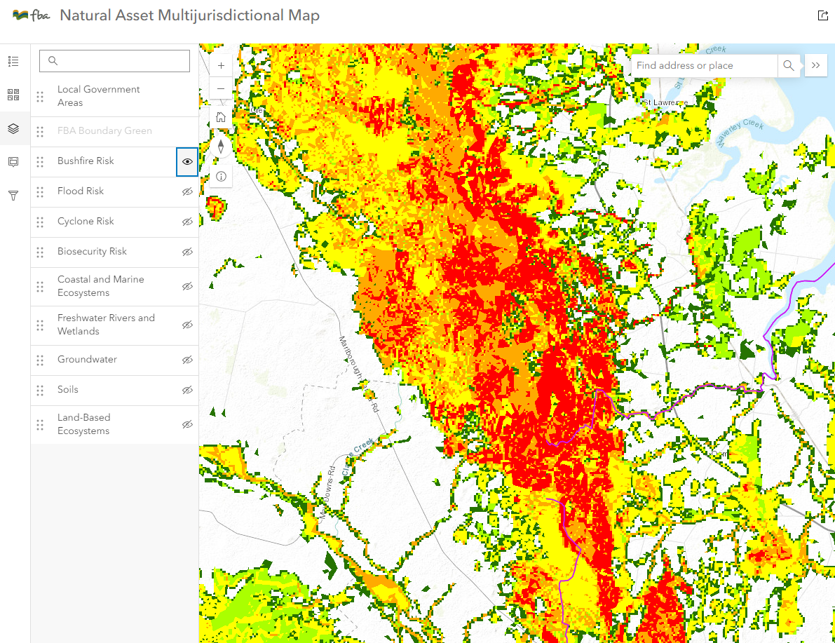
The Emergency Preparedness Plan has been designed to map out where natural and agricultural assets are located within the Fitzroy region. In addition, the plan identifies where in the basin these assets are most at risk from natural disasters impacts including wildfires, floods, cyclones, diseases, and pest outbreaks.

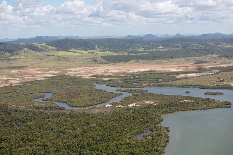
Photo: Barbara Suttle
Emergency Preparedness Plan

FBA have created an interactive map that the community can use to locate our natural assets and detect changes over time. This tool will help build resiliency and reduce the impact of natural disasters.
Learn more with the full Emergency Preparedness plan

Project Partners
This project is funded by the Australian Government Natural Heritage Trust and delivered by FBA, a member of the Commonwealth Regional Delivery Partners panel.
Terms of Use
Use Limitations
The Emergency Preparedness Datasets are an amalgamation of spatial data representing some of the diverse geospatial features and datasets of Queensland. This data incorporates inputs from a variety of sources, levels of precision, methodologies of data acquisition, and time periods. The primary objective of these datasets is to provide a broad overview of the possible locations of various biodiversity and agricultural assets and their likely risk of impact from natural disasters and should be interpreted and utilised correctly. Users of the information offered in the Emergency Preparedness Datasets accept all responsibility and risk associated with the use of the Information. Users are responsible for verifying the data’s appropriateness for their intended applications and for any conclusions or actions derived from its use and should seek independent professional advice in relation to dealings with the Emergency Preparedness Datasets.
Disclaimer
This disclaimer underlines the commitment of Fitzroy Basin Association (FBA) to transparency and data integrity while also emphasizing the importance of prudent and well-informed usage of the Emergency Preparedness Datasets. Despite FBA’s best efforts, FBA, its employees and the FBA Board makes no representations or warranties in relation to the information, and, to the extent permitted by law, exclude or limit all warranties relating to correctness, accuracy, reliability, completeness or currency and all liability for any direct, indirect and consequential costs, losses, damages and expenses incurred in any way (including but not limited to that arising from negligence) in connection with any use of, or reliance on, the Emergency Preparedness Datasets. These datasets are for general information purposes only.